Upload date
All time
Last hour
Today
This week
This month
This year
Type
All
Video
Channel
Playlist
Movie
Duration
Short (< 4 minutes)
Medium (4-20 minutes)
Long (> 20 minutes)
Sort by
Relevance
Rating
View count
Features
HD
Subtitles/CC
Creative Commons
3D
Live
4K
360°
VR180
HDR
9,858,329 results
Maxar combines Space Infrastructure and Earth Intelligence capabilities to bring innovative solutions to commercial and ...
3,195 views
3 years ago
Maxar is a trusted partner and innovator in Earth Intelligence and Space Infrastructure. We deliver disruptive value to government ...
29,669 views
4 years ago
Skip straight to analysis with Maxar's Analysis-Ready Data (ARD). ARD is pre-processed time-series stacks of imagery that are ...
4,076 views
2 years ago
How to download High-resolution (0.3m) MAXAR satellite image for free, From OpenAreialMap & use GEE Registration is open for ...
30,186 views
1 year ago
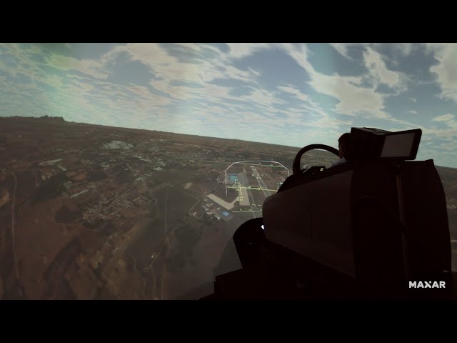
From broad-area surveillance to precise object detection, defense and intelligence organizations rely on Maxar's rapid ...
98,104 views
Sometimes, there is no room for error. Accuracy is not a luxury but a requirement in our 3D world. Maxar brings this precision to ...
74,183 views
Maxar is a leading space technology and Earth intelligence company. Fueled by high-resolution imagery from their satellite ...
1,501 views
Maxar's successful history in space technology has guided the creation of our next-generation satellites. From defense and ...
757 views
1 month ago
Satellites capture images of our world in 2D, but some situations require a more complete picture, a view of the world the way it ...
17,517 views
Watch how several simple tools come together to enable monitoring an area within SecureWatch, while assessing the impact of ...
2,637 views
ClimateDesk, a climate intelligence and analytics platform, transforms climate risk into business opportunities. Learn more about ...
775 views
9 months ago
Maxar's #TiltTheMap series visits Yosemite Valley in California for Augmented World Expo, a leading conference for the extended ...
1,974 views
Are you in? Maxar Technologies is looking for those who are ready to take on complex national security challenges.
6,296 views
Maxar Technologies claims to be the leader in #geospatialintelligence thanks to the best resolution #satellite #imaging they offer.
1,455 views
The first steps taken by North Korea to dismantle the launch infrastructure at Sohae began in July 2018(1). Maxar imagery ...
3,496 views
5 years ago
GitHub: https://github.com/opengeos/maxar-open-data Web App: https://huggingface.co/spaces/giswqs/maxar-open-data GitHub: ...
1,080 views
CNBC's Morgan Brennan breaks down her conversation with Maxar Technologies CEO Daniel Jablonsky on the future of the ...
18,522 views
Hugging Face: https://huggingface.co/spaces/giswqs/maxar-open-data Streamlit Cloud: https://maxar-open-data.streamlit.app ...
817 views
DigitalGlobe is a leading provider of commercial high-resolution Earth imagery products and services. Learn about the collection, ...
8,082 views
8,300 views
0
36 views
146,000 views
10,000 views
In this video, I have tried to show how to download high-resolution satellite images from openaerialmap website: OpenAerialMap ...
22,381 views